The landscape of a city, with the physical placement of vital thoroughfares and important landmarks as well as varying disparity of the physical conditions of neighborhoods, can help to foster a revolutionary environment. Revolutions are often inspired by events that occurred many years prior to the initial start to the rebellion. In the case of the Easter Rising of 1916, both political and economic situations helped to inspire the revolutionary leaders. While historical martyrs, such as Robert Emmet and Theobald Wolfe Tone, inspired the leaders of the Rising, the immediate political relationship between Ireland and England, as well as the economic disparity within Dublin, served as the final spark that ignited the Revolution.
With enactment of the Act of Union
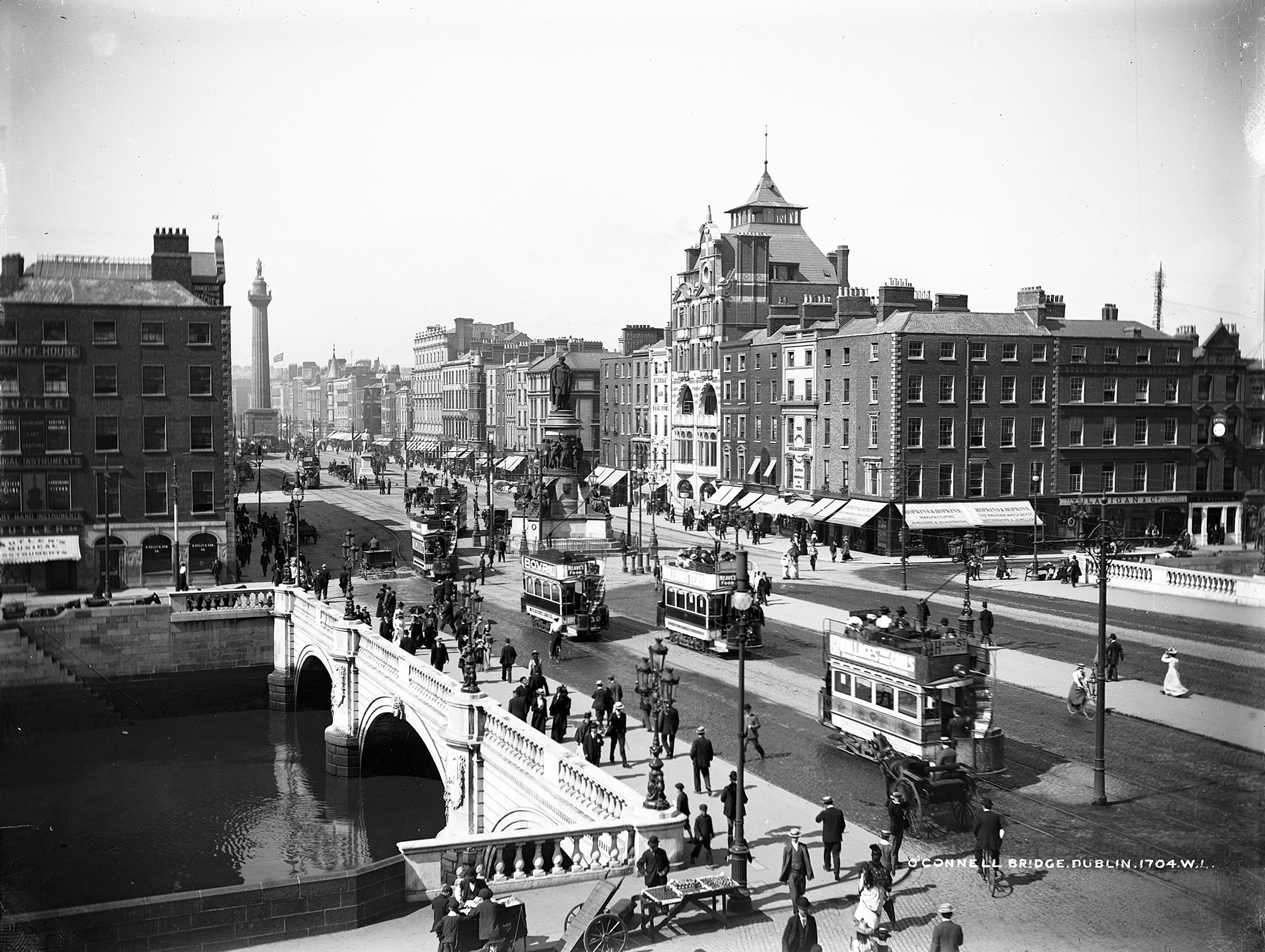
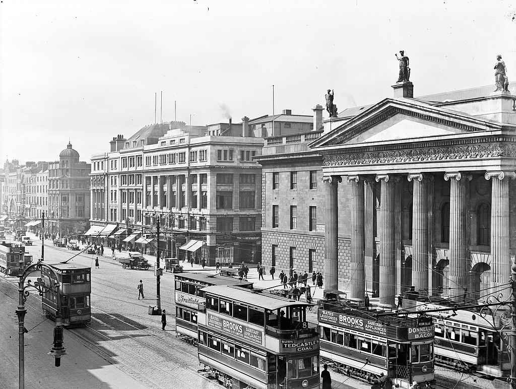
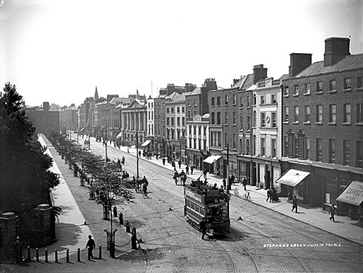
in 1801, and the subsequent dissolution of the Irish Parliament, Dublin’s Parliamentary members left their Georgian town-homes for London’s political circles. By the 1840s, the once opulent homes were modified into tenement houses to accommodate multiple lower-class families. As more rural families, seeking to escape the Famine, internally migrated to urban centers, the need for housing increased, resulting in overcrowding and steady decline of tenement neighborhoods. As the economic and physical state of tenement neighborhoods steadily declined, along with a growing discontent with the political relationship with England, various leaders throughout the city began to take notice of the civil unrest and acted upon their dissatisfaction, both with respect to the economic conditions in Dublin and British control over Ireland as a whole.
The Rising leaders utilized the landscape of Dublin to work on their side in their fight against the British. They planned to physically take control of major landmarks such as the General Post Office (GPO), St. Stephen’s Green, the Four Courts, St. James’ Hospital, Shelbourne Hotel, and Dublin Castle. While the Rising did not unfurl as planned, and was ultimately defeated, the Rising still serves as a symbolic emblem of what Revolution represents. The occupation of these major landmarks, most of which were symbolic markers of British control of Ireland, is intrinsically connected to the strategy of using landscape to convey Revolutionary ideals and symbolic gestures.
Thus, the city of Dublin was a city of duality: the city of the tenements and the city of politics. While these two components had been in contact with one another on various occasions such as the 1913 Lockout, it was in 1916 that the two truly collided, forming a new city: Revolutionary Dublin.
How to Navigate: Click on the purple or red points on the map to explore pages
Map Key: Purple Points (pre-1916); Red Points (1916 Rising)
Authors: Emily Meyer, Robby Billings, Lauren Lambie, Joey Saxton, and Cathrine McNeil